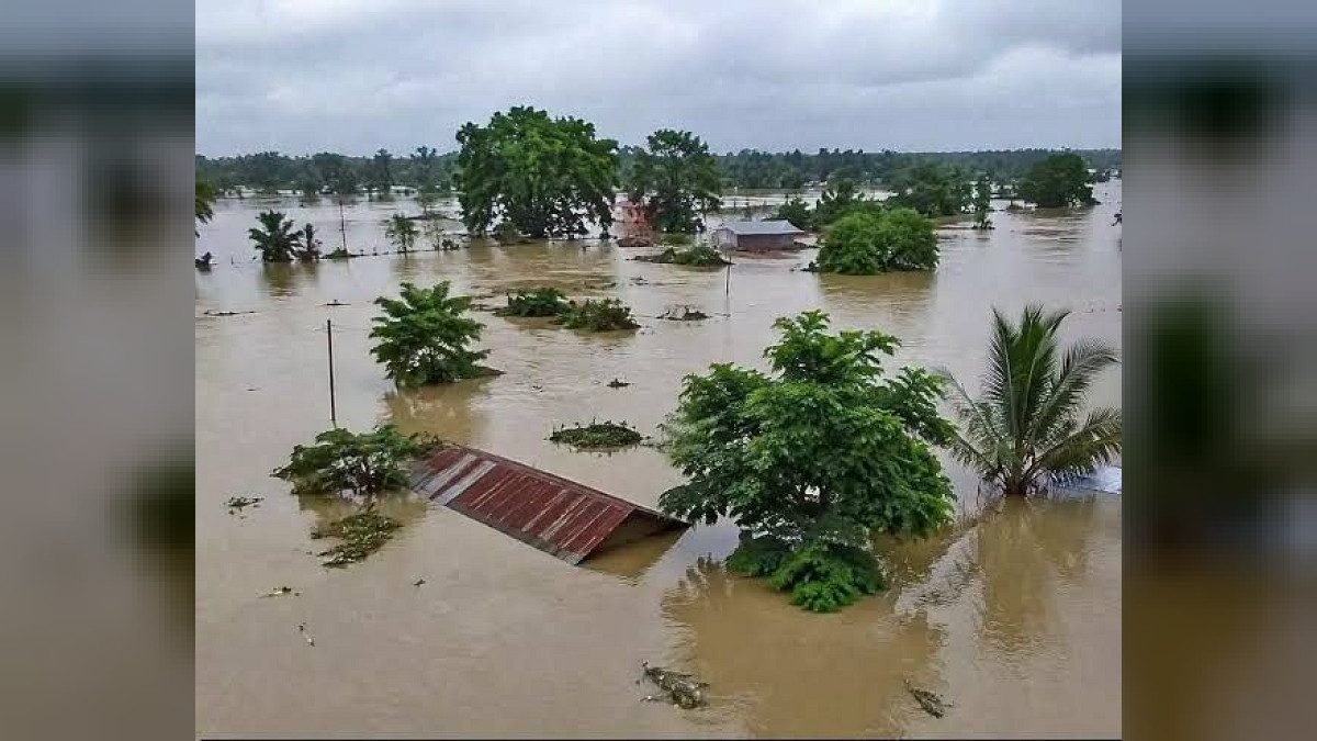
GUWAHATI, Nov 15: Assam Chief Minister Himanta Biswa Sarma on Sunday said the state had proposed the Assam Floodplain Zoning Bill, 2026, to tackle floods and erosion and ensure planned development.
The proposed law would provide for scientific mapping of the Brahmaputra and Barak river basins. It would identify flood-prone areas and regulate land use and construction accordingly, Sarma said in a social media post.
The state proposed to use LiDAR technology and satellite-based mapping for the exercise. Areas would be classified into three categories on the basis of flood risk: prohibited, regulated and unregulated zones.
No construction would be allowed in the main river channel and active water-flow areas. In regulated zones, buildings would have to be constructed on raised plinths and follow flood-resistant designs. Normal development activities would be permitted in areas outside the flood line.
The bill also proposed safeguards for owners of existing legal properties. It would provide for a 60-day period for public hearings and filing objections before any decision, while appeals could be filed online or in person.
Sarma said the state planned to mobilise funds through externally aided projects and grants. This could facilitate central approval and funding from the Ministry of Jal Shakti without placing an additional financial burden on the state government.